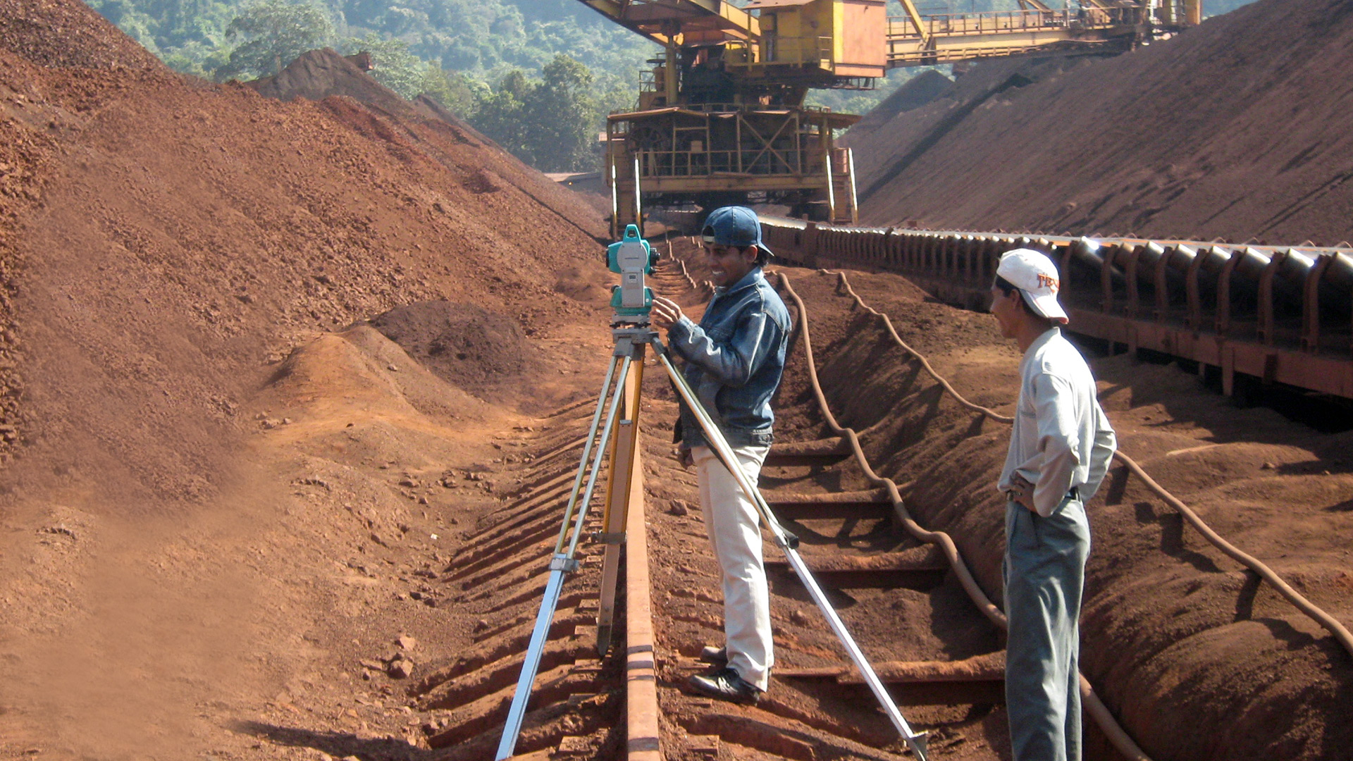
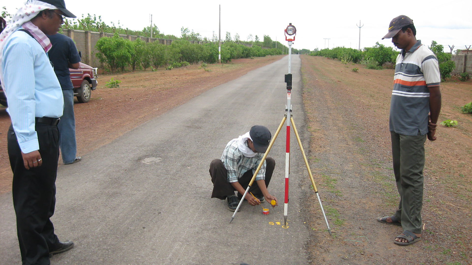
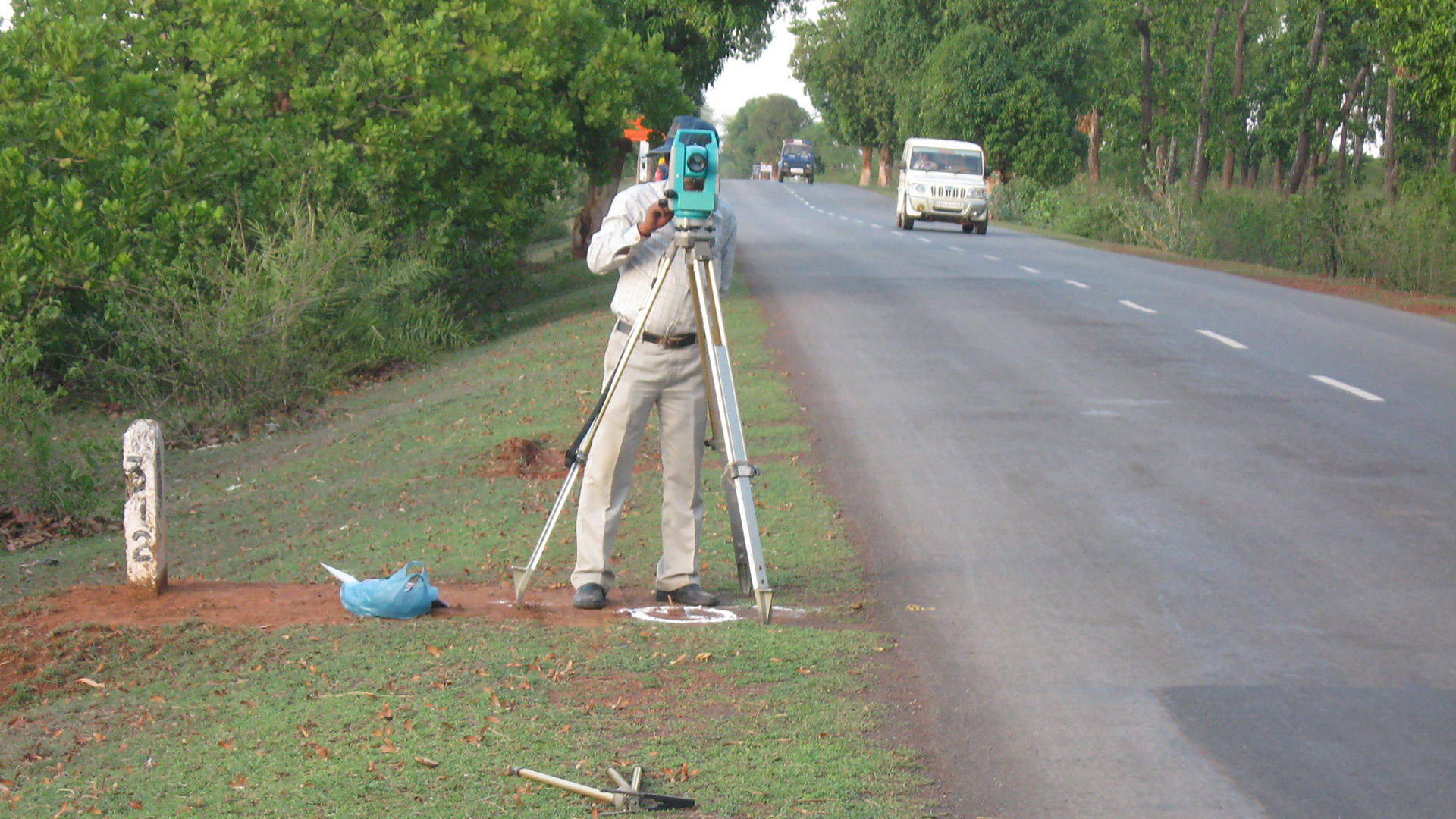
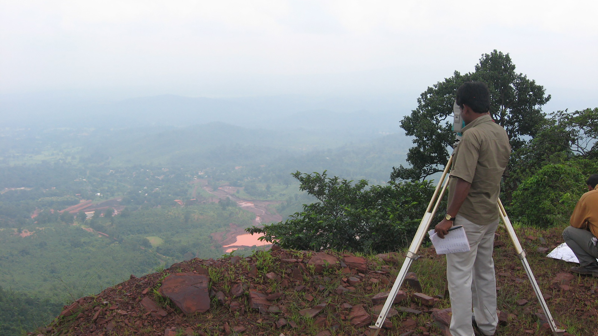
- Topographical Survey with DGPS, GPS & modern Total Stations
- Levelling by Digital Level & Auto Level instruments
- Cadastral, Transmission Line and Engineering Survey
- Bathymetric Survey through Total Station, Current meter, Echo-sounder etc.
- Profiling, Contouring, Levelling, Curve setting, etc.
- Route alignment for roads, bridges, pipelines, power lines etc.
- As built survey for developed cities
- Preparing Engineering drawings, Topographical Survey Drawings using advanced & latest softwares like AutoCAD
- Digitization of old revenue maps and cadastral maps
- Measurement survey for cutting & Filling volumes
- Preparation of Detailed survey Report